Watery Place-names in Axholme: History, Evolution and Value [Online]
Free to attend | Booking required
*Due to the popularity of this event, the in person lunchtime lecture has sold out. Online tickets are now available.*
This presentation will focus on how Axholme’s place-names tell a story of change from fenland to managed farmland. Place-names preserve clues about former wetlands, islands, river channels, and areas of dry ground. Watery names such as marshes, carrs and holmes reveal patterns of flooding. This shaped daily life for centuries. The landscape changed dramatically after Cornelius Vermuyden’s 17th-century drainage scheme. With the transformation came new place-names reflecting artificial waterways and engineered land divisions.
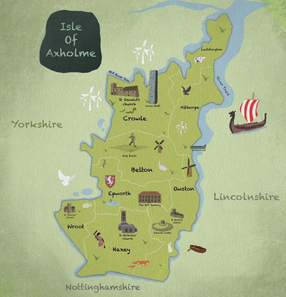
Place-names can be studied alongside maps, archaeology, and environmental data. In this way researchers can identify areas that were once naturally wet or dry. Such insights can inform modern decisions about land use, water management, and development. As climate change increases flood risk, this historical knowledge can offer practical value. In this way, language itself becomes a tool for building a more sustainable and resilient environment.
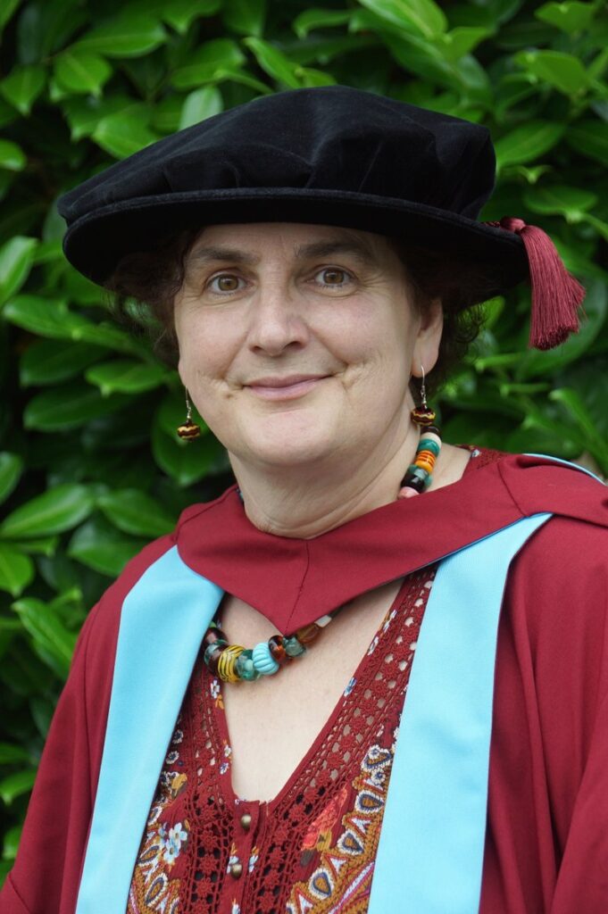
Dr Kathryn Bullen is an independent Researcher and Project Manager. She completed her PhD at the University of Nottingham in 2024. Kathryn’s research aimed to discover what place-names in the Isle of Axholme can tell us about historical change to society and culture in North Lincolnshire. It provides material for a publishable volume of the English Place-Name Society, contributing to the survey for Lincolnshire. Kathryn is currently Guest Curator for the Vermuyden400 project, and is involved in curating a series of exhibitions taking place during 2026-27 at various locations in North Lincolnshire.